Precision Agriculture
Data-Driven Farming for Higher Yields
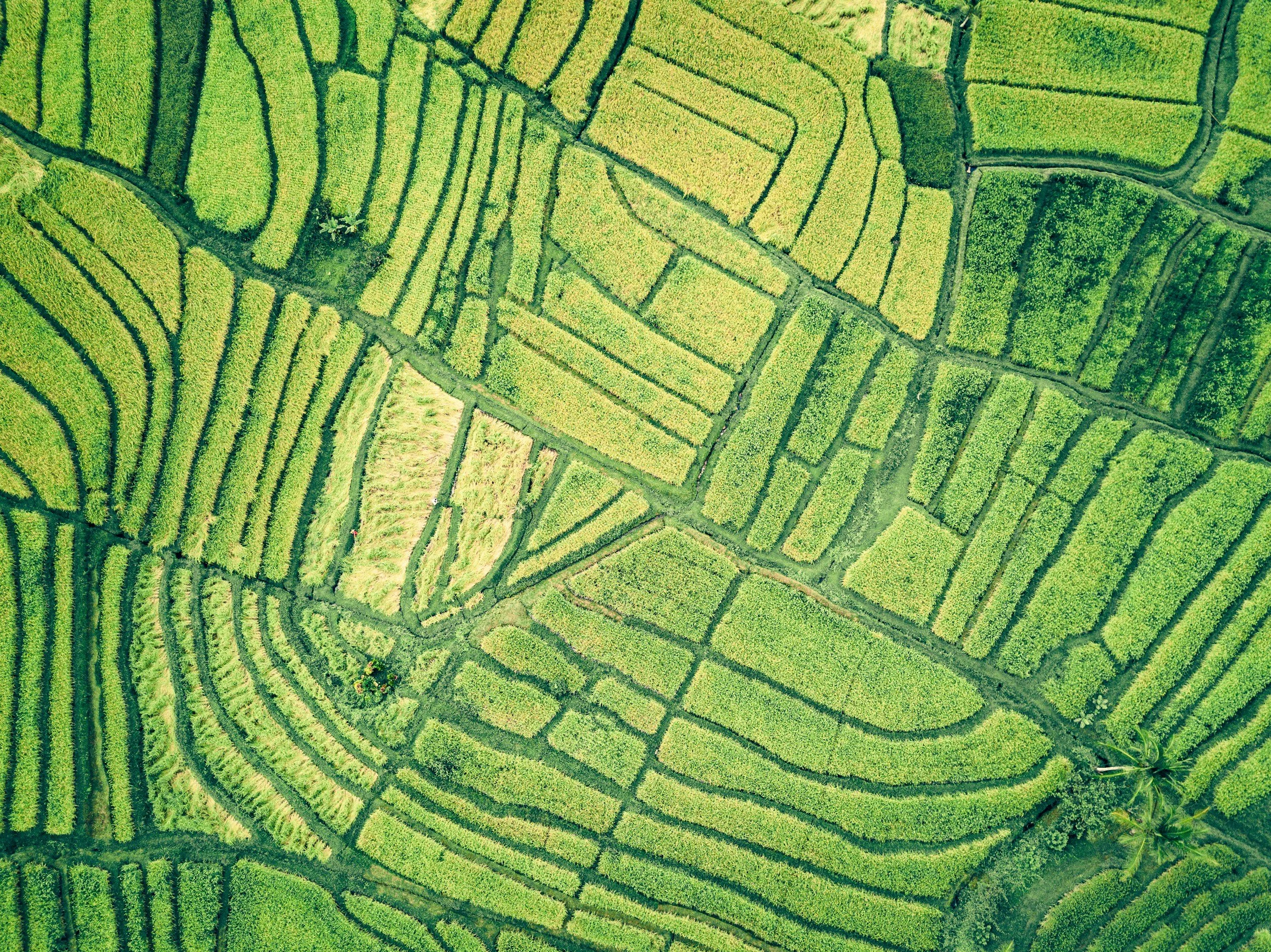
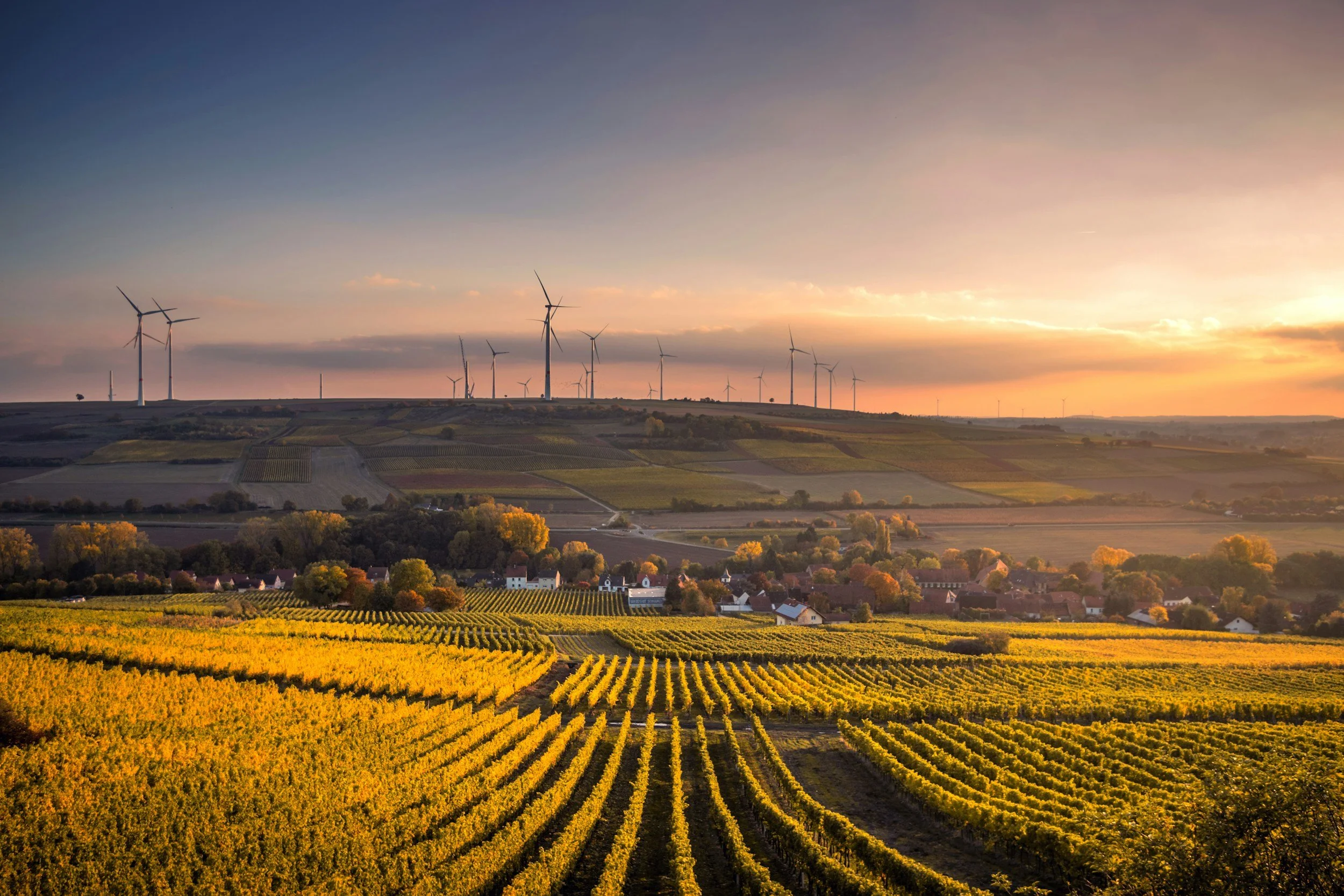
Farming is more than hard work — it’s about making the right decisions at the right time. Our aerial insights give growers the tools to optimize crops, conserve resources, and maximize productivity.
Our Services Include
-
Crop Health Monitoring
Identify stress zones early with multispectral imagery.
-
Stand Count & Yield Estimation
Predict yields and adjust management strategies with confidence.
-
Livestock Count & Recovery
Monitor herds or locate animals with ease.
-
Irrigation Planning & Mapping
Improve drainage, water use, and efficiency across fields.
-
Field Boundaries
Generate precise maps for planting, spraying, and compliance reporting.
-
Compliance Documentation
Reliable aerial data for crop insurance and regulatory needs.