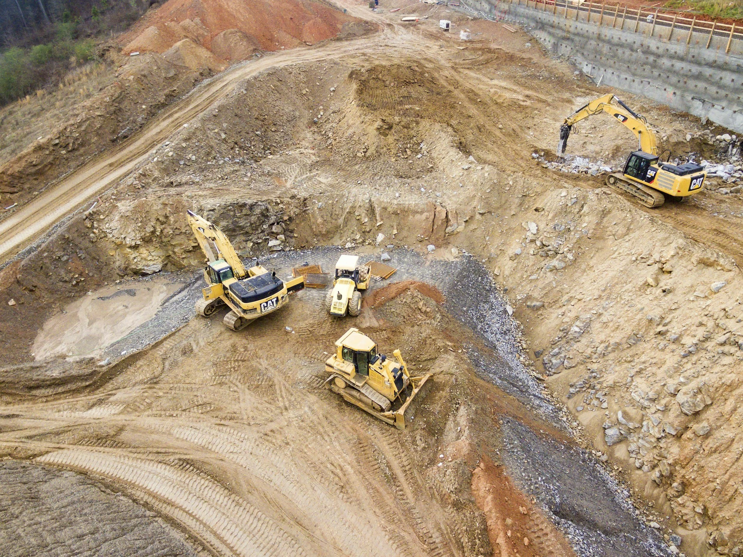
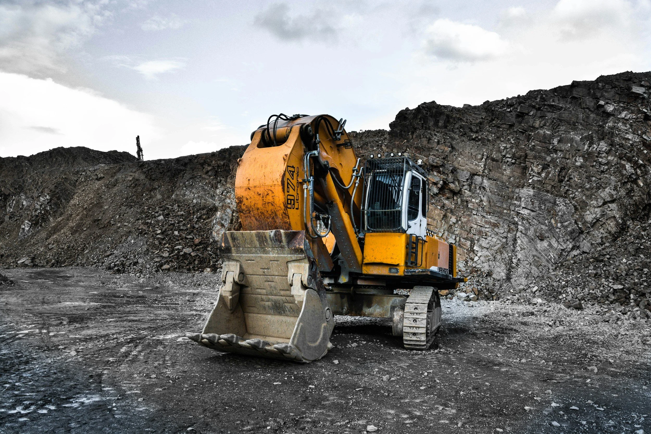
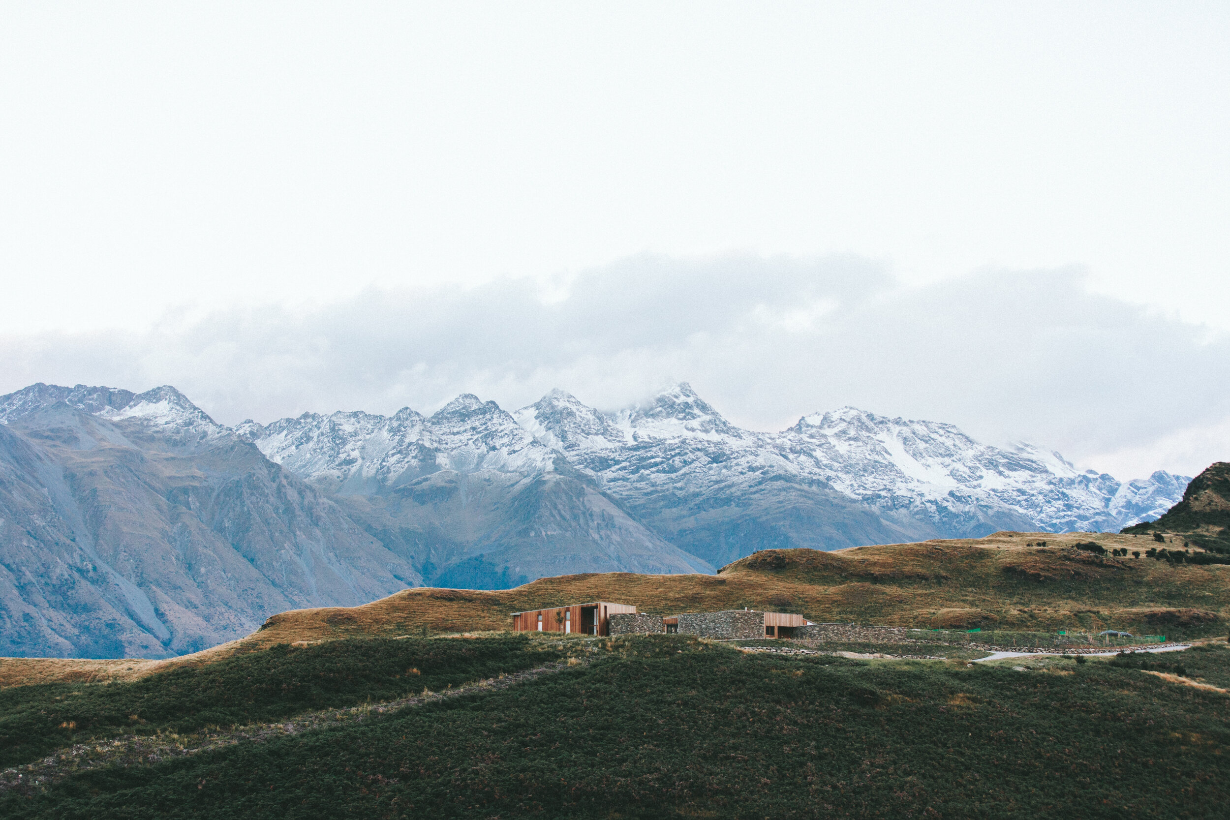
Construction & Earthworks
Our Services Include
-
Progress Monitoring & Reporting
Document site milestones with imagery and 3D data that keep teams and stakeholders aligned.
-
Site Modeling & Digital Twins
Build interactive 3D models to simulate conditions and visualize site
-
Asset Documentation
Keep a record of equipment and infrastructure conditions for compliance and insurance.
Construction & Earthworks Packages
Get the insight you need to stay on schedule, manage resources, and improve site safety — from the ground and the sky. All tiers include a complete findings report.
Site Snapshot
Perfect for gaining high-resolution visual context and establishing a current, accurate baseline of your site.
Starts at $750
✓ Orthomosaic + Custom GIS Exports
✓ 3D Model + Photos
Progress Tacker
Monitor your job site with unparalleled accuracy. Our progress tracker packages helps you track progress, manage resources, ensure safety, and stay on schedule.
$1,800/month
✓ 4 Monthly Flights
✓ Side-by-Side Reports
✓ Custom GIS Workflows
Custom Suite
A fully integrated data and visual intelligence solution for managing complex projects. Whether it’s a single flight or multiple per month, we’ll work with you to find the right solutions and price that works for you.
Contact for Quote
✓ High-Frequency Monitoring
✓ Planimetric Reports
✓ Custom Project Dashboard
Add-Ons and Individual Deliverables
Infrastructure Inspections: $150/hr | Orthophoto: $400+ | DSM/DTM: $400+ | 3D Site Model: $500+ | Planimetric Report: $500
Case Studies
-
Basic
What should we know about the services you provide? Better descriptions result in more sales.
-
Advanced
What should we know about the services you provide? Better descriptions result in more sales.